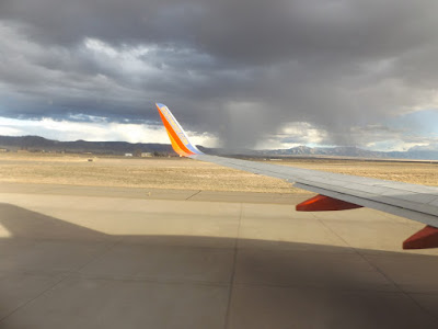
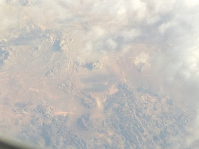
Rainshowers near the Manzano Mountains.

Rainshowers near the Manzano Mountains.

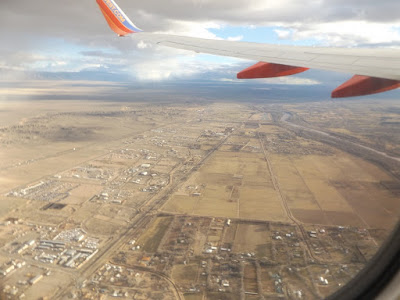
University Blvd. SE at Tijeras Arroyo, looking south towards Mesa del Sol and "Q" Studios.

Interstate 25, looking south at Bobby Foster Road.
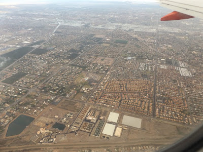
South Valley.

South Valley.

Wind Mesa.
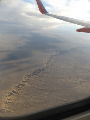
Escarpment along east edge of the Rio Puerco River Valley.
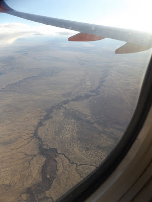
Rio Puerco.

Along Highway 6 corridor.

Crumbled volcanic mesa along the Highway 6 corridor.

Double smokestacks at Salt River Project's Coronado Generating Station, near St. Johns, AZ.
Volcanic landscape near Clear Lake and Long Lake, along Highway 277 about 7 miles west of Snowflake, AZ, as seen through light clouds.

Beginning final descent along the Salt River, east of Phoenix.

Falcon Field Airport. I remember visiting the classic aircraft here back in 2006.
Mesa, AZ.

Mesa, AZ.

Mesa Country Club.

Cubs Park.

Red Mountain Freeway (202) and Price Freeway (101) intersect.

N. Scottsdale Bridge/ Arizona State University.
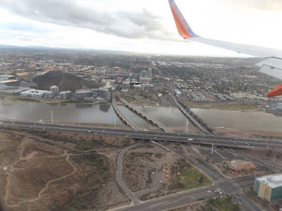
Arizona State University/ Mill St. Bridge.

Hohokam Expressway and E. Sky Harbor Blvd.
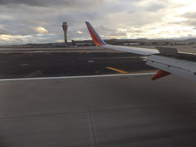
North Runway at Sky Harbor Airport.
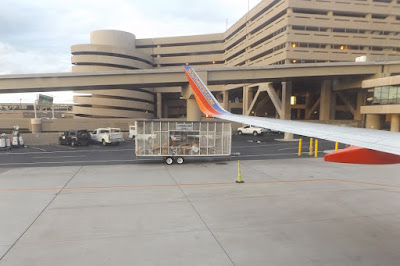
Southwest Terminal along the South Runway at Sky Harbor Airport.
 Rainshowers near the Manzano Mountains.
 Rainshowers near the Manzano Mountains.
 University Blvd. SE at Tijeras Arroyo, looking south towards Mesa del Sol and "Q" Studios.
 Interstate 25, looking south at Bobby Foster Road.
 South Valley.
 South Valley.
 Wind Mesa.
 Escarpment along east edge of the Rio Puerco River Valley.
 Rio Puerco.
 Along Highway 6 corridor.
 Crumbled volcanic mesa along the Highway 6 corridor.
 Double smokestacks at Salt River Project's Coronado Generating Station, near St. Johns, AZ.
 Volcanic landscape near Clear Lake and Long Lake, along Highway 277 about 7 miles west of Snowflake, AZ, as seen through light clouds.
 Beginning final descent along the Salt River, east of Phoenix.
 Falcon Field Airport. I remember visiting the classic aircraft here back in 2006.
 Mesa, AZ.
 Mesa, AZ.
 Mesa Country Club.
 Cubs Park.
 Red Mountain Freeway (202) and Price Freeway (101) intersect.
 N. Scottsdale Bridge/ Arizona State University.
 Arizona State University/ Mill St. Bridge.
 Hohokam Expressway and E. Sky Harbor Blvd.
 North Runway at Sky Harbor Airport.
 Southwest Terminal along the South Runway at Sky Harbor Airport.
No comments:
Post a Comment